OUTDOOR PIRATE / MOUNTAIN OBJECTIVE
Sajama
6,542
M
Bolivia
SUMMITED
OBJECTIVE CATEGORIES
EXPEDITION OVERVIEW
STATUS
SUMMITED
EXPEDITION YEAR
2026
SUPPLEMENTAL OXYGEN
NO O2
SUMMIT OR DIE
Victor had gone home.
After more than four weeks climbing together through Ecuador, Chile, Argentina and Bolivia, Huayna Potosí was his final mountain before returning to his family.
I wasn't finished.
I had come to South America to climb as much as possible before Nepal, and by this point I was feeling incredibly strong and well acclimatized. Six-thousand-metre mountains were beginning to feel surprisingly comfortable.
I wanted to keep moving.
Illimani had been on my radar, but the avalanche conditions were bad and everyone I spoke to advised against it.
So I turned my attention to Sajama.
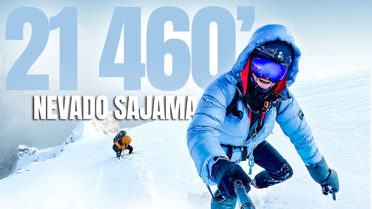
At 6,542 metres, Sajama is the highest mountain in Bolivia — another country high point and another perfect training objective.
Through my friend Hugo in La Paz, I was introduced to Eduardo, an experienced Bolivian mountain guide who was apparently crazy enough to entertain the way I wanted to climb it.
Eduardo was older, incredibly experienced and spoke just enough English for us to understand each other.
He also had a phrase.
“Summit or die.”
I liked him immediately.
ONE PUSH
We left La Paz at around 6 a.m.
The drive took us across the Bolivian high country, through small mountain towns and past seemingly endless herds of llamas before eventually reaching Sajama Village.
After lunch, we continued toward Base Camp.
Eduardo had access through the gate, allowing us to drive all the way in, and by around 4 p.m. we were parked beneath the mountain.
There would be no tent.
I climbed into the back of the Land Cruiser and tried to get some sleep.
The normal way to climb Sajama is progressively, village, Base Camp, high camp and then the summit.
We weren't doing that.
I was already heavily acclimatized from the previous weeks, and Eduardo was comfortable with my experience and fitness.
So our plan was much simpler.
Base Camp to summit.
Summit back to Base Camp.
One push.
The alarm was set for midnight.
At around 1 a.m., we started walking.
BREAKING TRAIL
The route initially dropped slightly from Base Camp before crossing the valley floor and beginning the real climb.
At first it was mostly loose rock and scree.
Then we reached the snow.
We put on crampons and immediately discovered what the day was going to be like.
There was no trail.
The snow was soft even in the middle of the night. Often it was knee deep. Occasionally we sank much further.
I took the front and started breaking trail.
Eduardo knew the mountain and navigated using landmarks.
See that rock?
Aim for that.
Then the next one.
Slowly, we worked our way upward through the darkness.
We reached high camp at around 3:30 a.m.
We were moving well.
Eduardo had originally estimated somewhere around seven or eight hours to reach the summit, and at that point everything looked like it was going according to plan.
Then we reached the technical section.
FORTY METERS
Above high camp we traversed across the mountain toward a small couloir.
This was where the climbing became more technical.
There was only one problem.
We had a 40-metre rope.
Eduardo led.
He placed ice screws and snow protection as he climbed, built an anchor, brought me up, and I cleaned the gear behind him.
Then we'd repeat the process.
The climbing itself wasn't particularly difficult.
It was the time.
With only forty metres of rope, everything had to be broken into short pitches.
Again.
And again.
And again.
Eventually, after six or seven pitches, we emerged above the technical section.
Now there was a huge snow slope between us and the summit.
Normally, the route would switchback across it.
But the snow was already soft, and traversing back and forth across a loaded slope didn't feel like the smartest option.
So instead of going across it, we went straight up.
INTO THE WHITE
I went back to breaking trail.
Straight up the mountain.
No switchbacks.
No existing track.
Just one step after another through increasingly deep snow.
As we climbed higher, the visibility began disappearing.
Cloud wrapped around the mountain until eventually there was almost nothing left.
At times I could barely see my own boots.
I would turn around and Eduardo, only twenty metres behind me on the rope, had disappeared completely into the white.
By this point I was moving strongly.
Weeks of climbing mountain after mountain were doing exactly what I'd hoped they would do. My body had adapted to altitude, and despite the conditions I could keep pushing.
Eduardo was beginning to feel the pace.
At times the rope between us tightened and it felt like I was almost towing him upward through the snow.
But we kept moving.
Hours passed.
Seven hours became eight.
Eight became ten.
The summit still hadn't appeared.
Then, just before midday, Eduardo stopped.
“This is it.”
11:55
Sajama doesn't have a dramatic summit.
There's no sharp ridge.
No cross.
No statue.
No obvious point announcing that you've reached the top.
It's a broad, rounded summit, and in the complete whiteout we were standing in, there was almost nothing to distinguish it from the rest of the mountain.
But Eduardo knew exactly where we were.
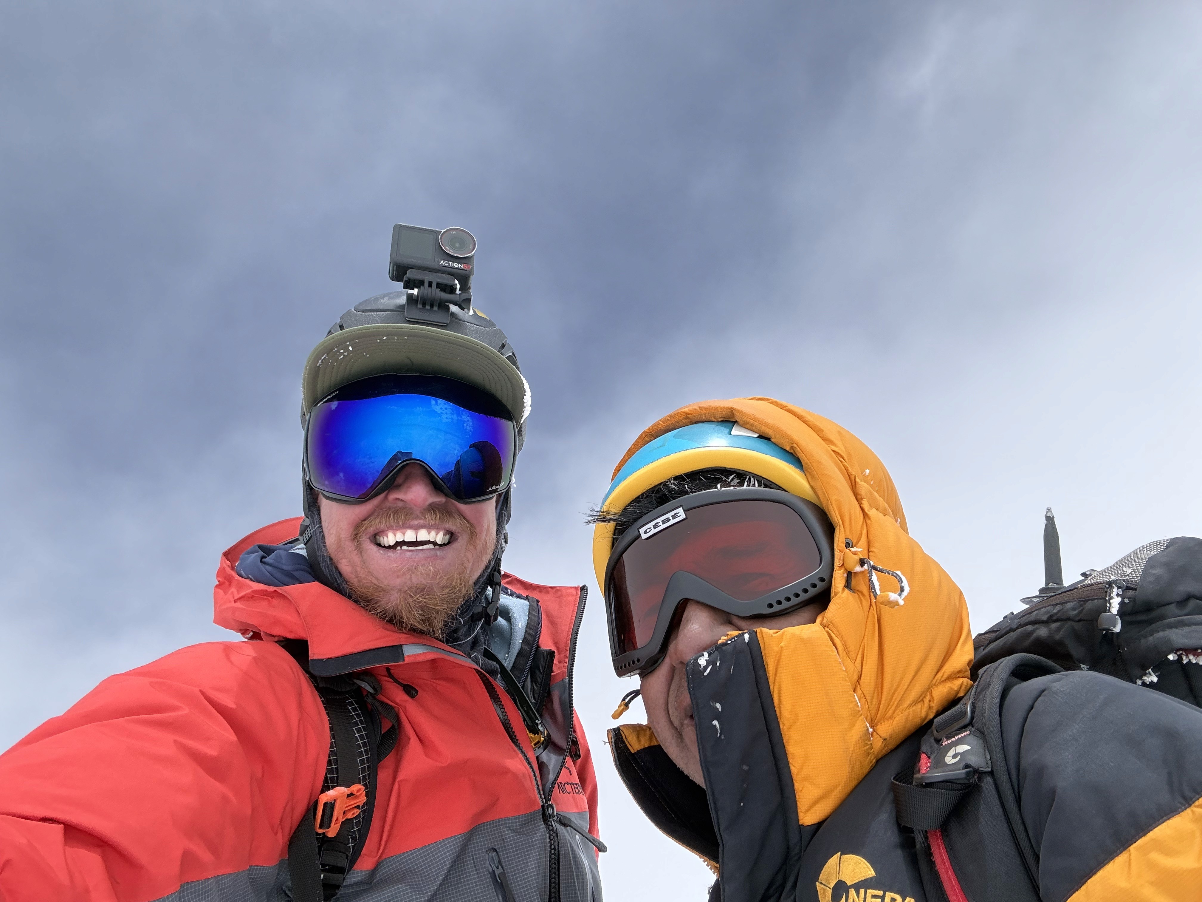
At approximately 11:55 a.m., after nearly eleven hours of climbing, we'd reached the summit of Bolivia.
6,542 metres.
We took some photos.
Shared a Coca-Cola.
Ate an energy bar.
And for a few minutes, simply enjoyed the fact that we'd actually made it.
I think Eduardo was surprised.
Not necessarily that we'd reached the summit, but by just how much work the mountain had demanded from us.
There wasn't much celebration.
We'd already been moving for eleven hours.
And we still had to get all the way back to Base Camp.
NINETEEN HOURS
The first couple of hundred metres disappeared quickly.
Then everything deteriorated.
The cloud became incredibly thick.
The wind increased to somewhere around 35 or 40 kilometres an hour.
Worse, the wind had already covered many of the tracks we'd made climbing up.
Suddenly, navigating down Sajama became considerably more serious.
We couldn't simply follow our footprints.
Instead, we relied on the breadcrumb tracks recorded on my watch and phone, using them to work our way through the whiteout.
Eventually we descended beneath the cloud just as we reached the technical section.
We could see again.
But now the 40-metre rope became a problem for a second time.
A forty-metre rope means roughly twenty-metre rappels.
Build an anchor.
Rappel.
Reset.
Repeat.
It took us around three hours just to get through that section.
By the time we reached high camp it was mid-to-late afternoon, and the snow had become unbelievably soft.
We sank to our knees.
Sometimes past our waists.
At points it felt less like descending a mountain and more like swimming through it.
Eventually the angle steepened enough to make things fun.
Ice axe in hand to control the speed, sit down and slide.
We dropped quickly toward the end of the snow, removed the crampons and continued through the loose rock and scree toward Base Camp.
At around 7 p.m., the Land Cruiser finally came into view.
We'd been moving for approximately 19 hours.
Exactly the sort of long, exhausting mountain day I'd come to South America looking for.
And the perfect preparation for what was waiting for me in Nepal.
MOUNTAIN DETAILS
ALTITUDE
6,542
M
COUNTRY / REGION
Bolivia
ROUTE
Normal Route
OPERATOR / GUIDE
Self
CONTINENT
South America
MOUNTAIN RANGE
Andes
https://youtu.be/YpmlRBd8vhQ
